Survey services
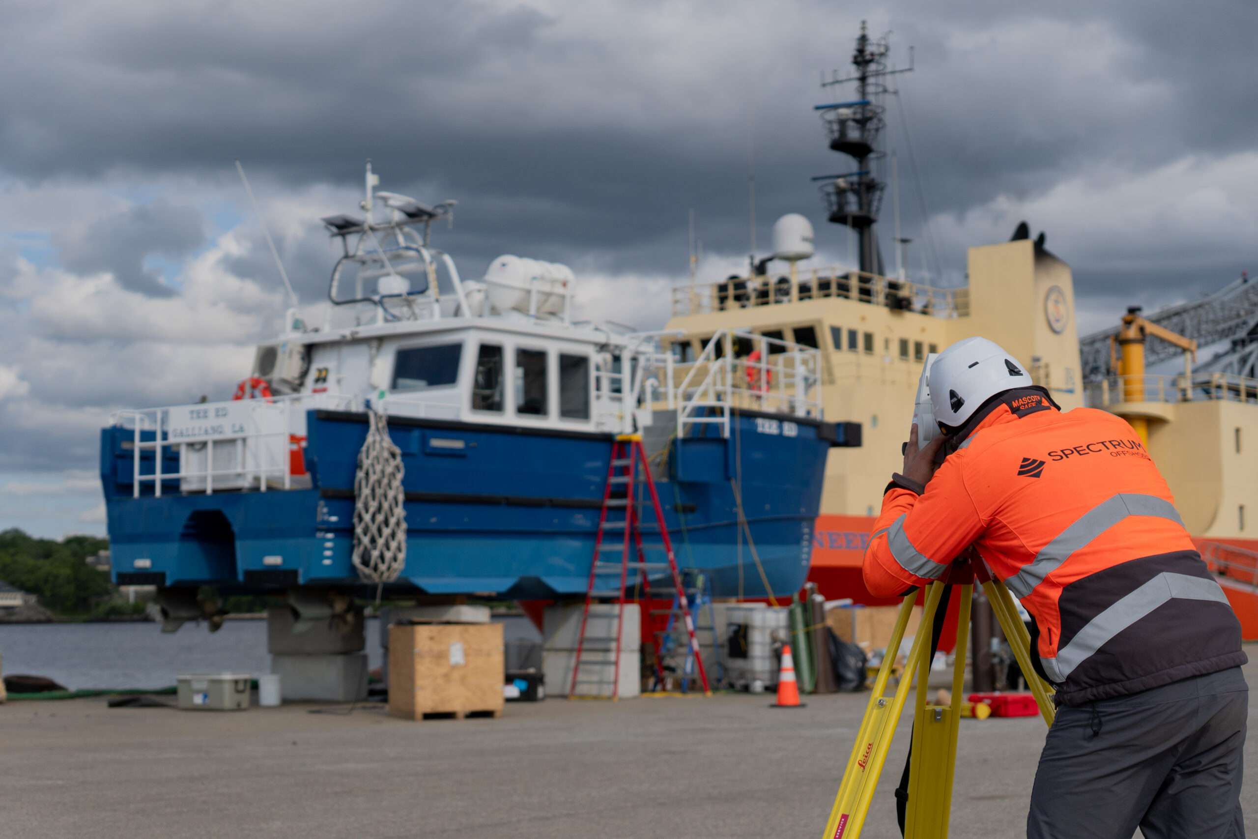
Spectrum Geosurvey conduct high resolution hydrographic, geophysical and UXO surveys for offshore renewables, construction, marine aggregates and nautical charting sectors.
By integrating proven technologies, innovative survey platforms, experienced personnel, and robust data workflows, Spectrum delivers reliable, high-quality data that underpins successful marine infrastructure projects.
Our comprehensive multi-sensor survey services provide detailed geophysical and environmental information for offshore and coastal developments. We are particularly recognised for our expertise in the complex nearshore transition zone, where we generate seamless datasets that support informed decision-making, optimise engineering design, and reduce project risk.
Spectrum’s survey services employ a range of innovative and industry-proven methodologies, including:
Bathymetric Surveys
Mapping seabed topography and water depth to support safe navigation, hazard and habitat identification, marine resource management, environmental assessment and coastal zone planning
Marine Seismic Surveys
Imaging sub-seafloor geology using controlled acoustic sources and seismic recording to delineate sediment layers, faults, gas pockets and buried infrastructure
Magnetometry Surveys
Detecting and mapping magnetic anomalies associated with geological structures and ferrous objects, including shipwrecks, pipelines, cables and potential unexploded ordnance.
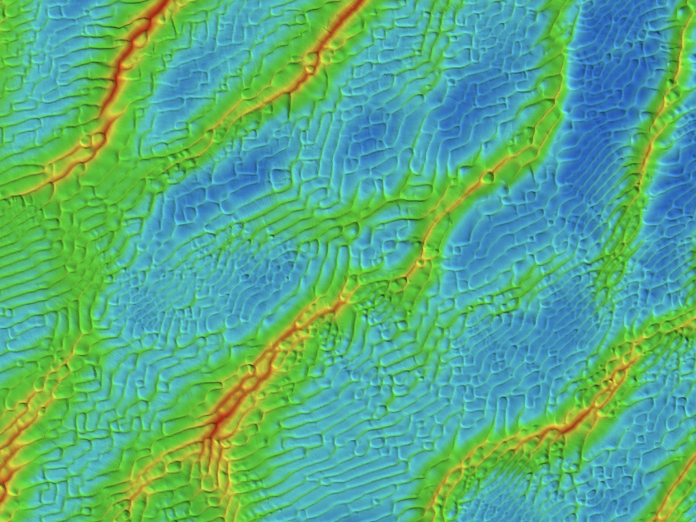
Side Scan Sonar Surveys
Acquiring high-resolution seabed imagery to identify and characterise features such as wrecks, cables, pipelines, habitats and seabed morphology.
Environmental and Geotechnical Surveys
Characterising environmental conditions and assessing seabed stability and soil conditions to inform offshore construction and infrastructure.
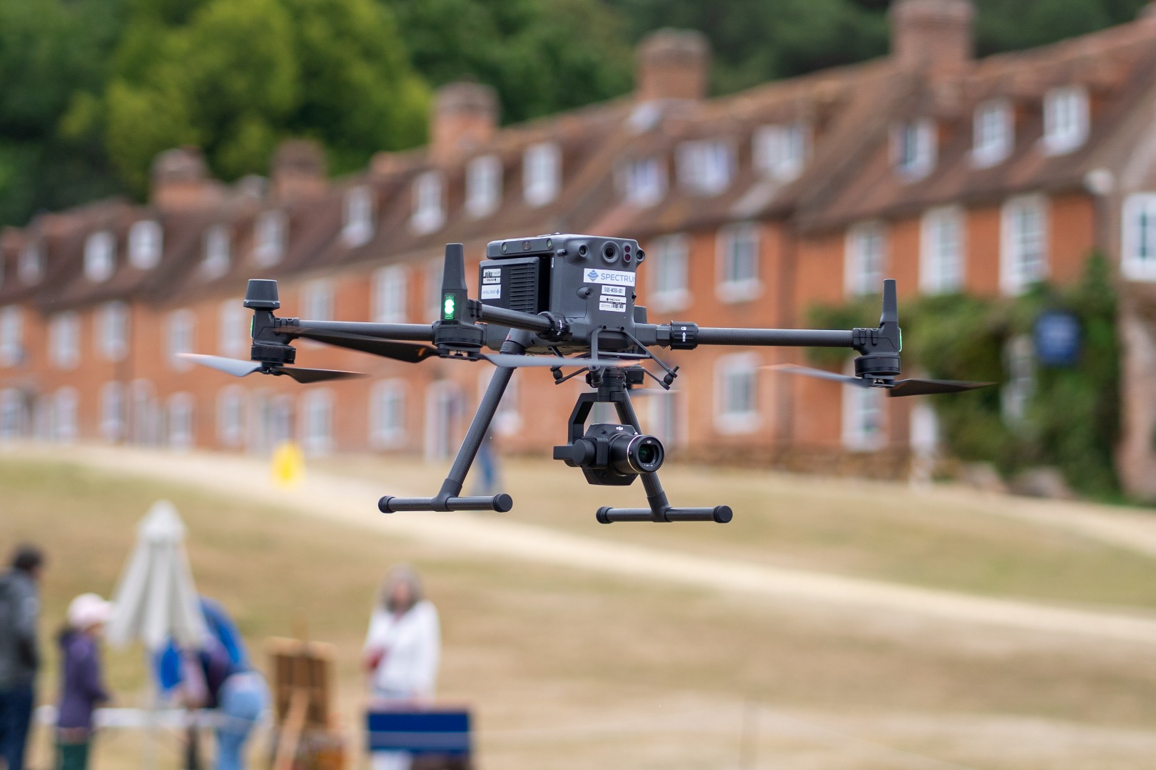
UAS LiDAR & Photogrammetry Surveys
Using survey-grade LiDAR and photogrammetry sensors on Uncrewed Aerial Systems to assess ground conditions and topographic relief on land and across the intertidal zone.
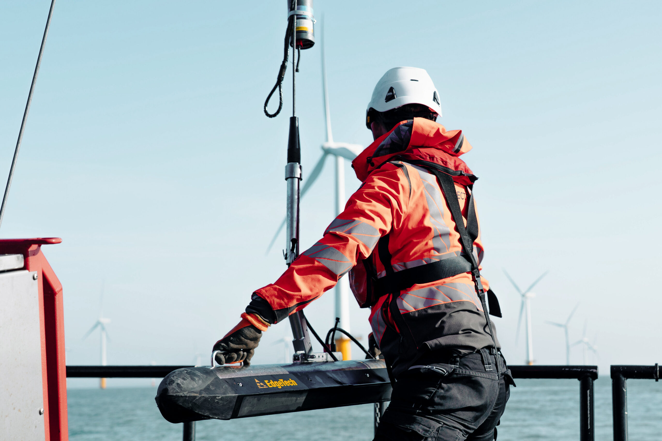
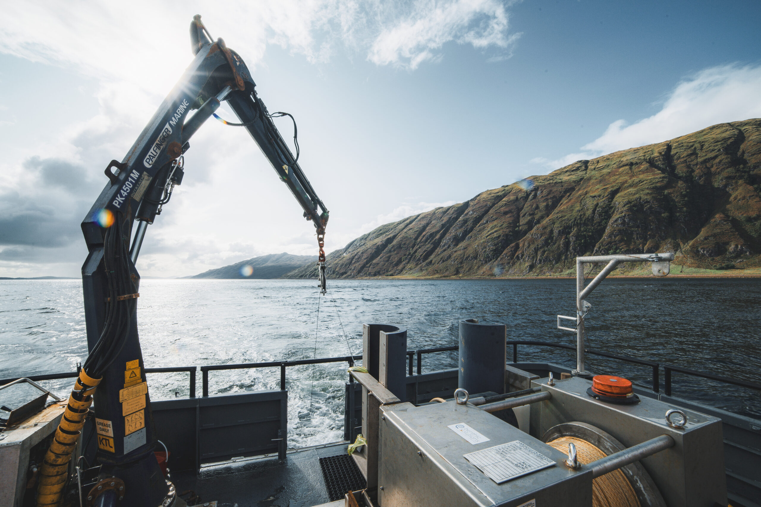
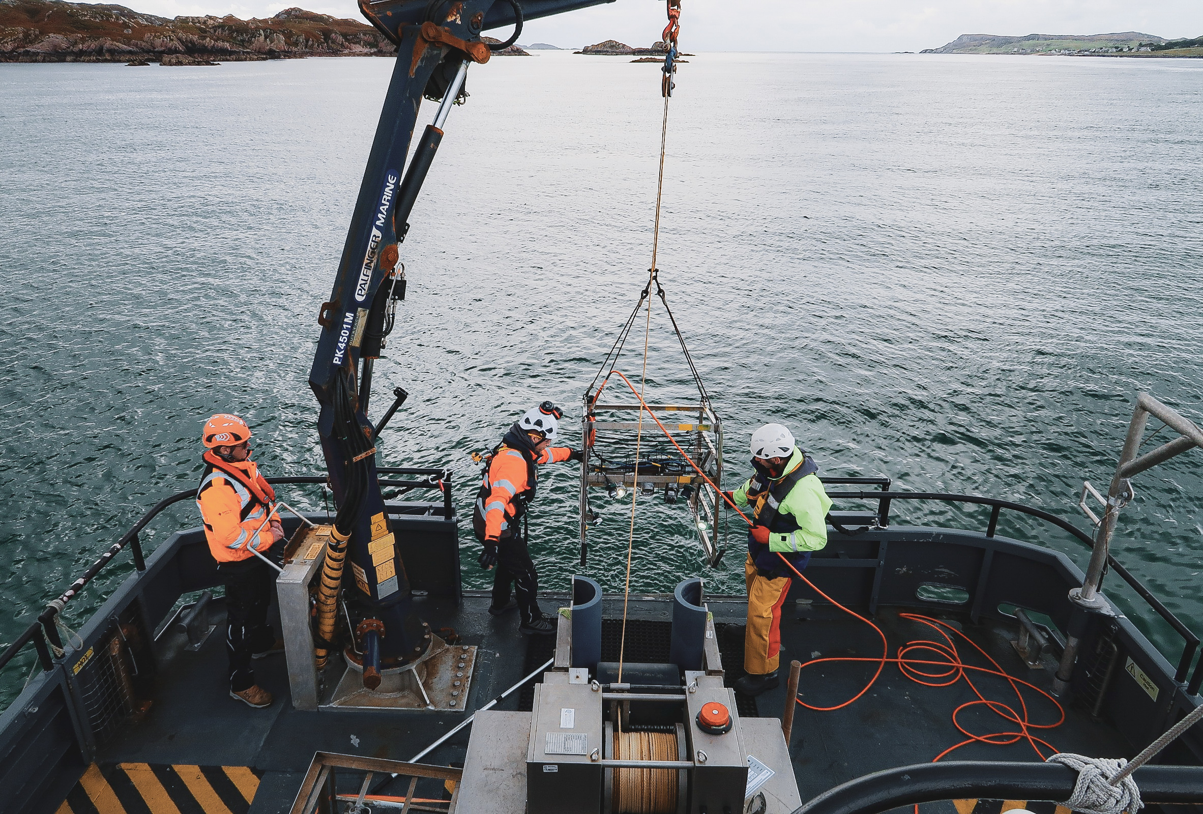
Inspection-Class ROV Surveys
Deploying inspection–class ROVs for close–visual inspection of seabed assets and targets identified during geophysical survey, including cable route inspections, free-span observation and inspection of assets and seabed obstructions.
Data Processing and Interpretation
Applying rigorous processing, QA/QC and interpretation workflows to produce clear charts, models and technical reports that provide reliable, actionable information for design, permitting and risk management.
Remote Survey Services
Our Remote Operations Centre (ROC) in Lymington, Hampshire provides 24-hour operational support for both crewed vessels and uncrewed surface vessels (USVs).
By integrating these technologies, Spectrum can deliver high-quality seabed, sub-seabed, and environmental datasets, supporting the safe and efficient development of offshore infrastructure.
Geophysical Survey
Geophysical survey geared to support a wide range of projects & site investigations.
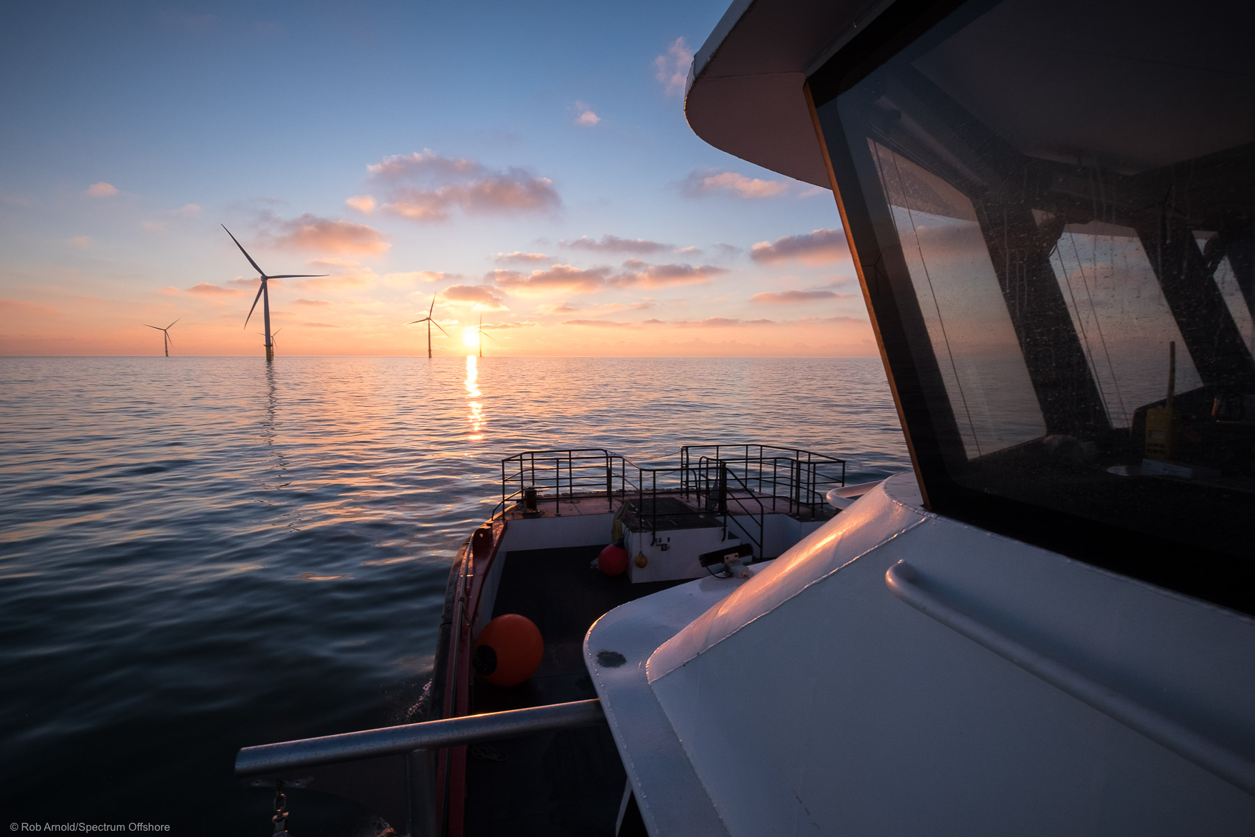
Hydrographic Survey
High-resolution bathymetric surveys delivered to IHO S-44 standards using industry-leading sensors.

AeroMAG® Uncrewed Aerial Magnetometer System (UAMS)
Ideally suited for deployment in the intertidal and shallow water areas to support precise buried ferrous object detection.
Terrestrial Survey
Advanced aerial platforms expanding coverage in challenging environments.
Site Investigation Survey
Comprehensive terrestrial and marine site investigation surveys to support the planning, design, and safe installation of offshore infrastructure.
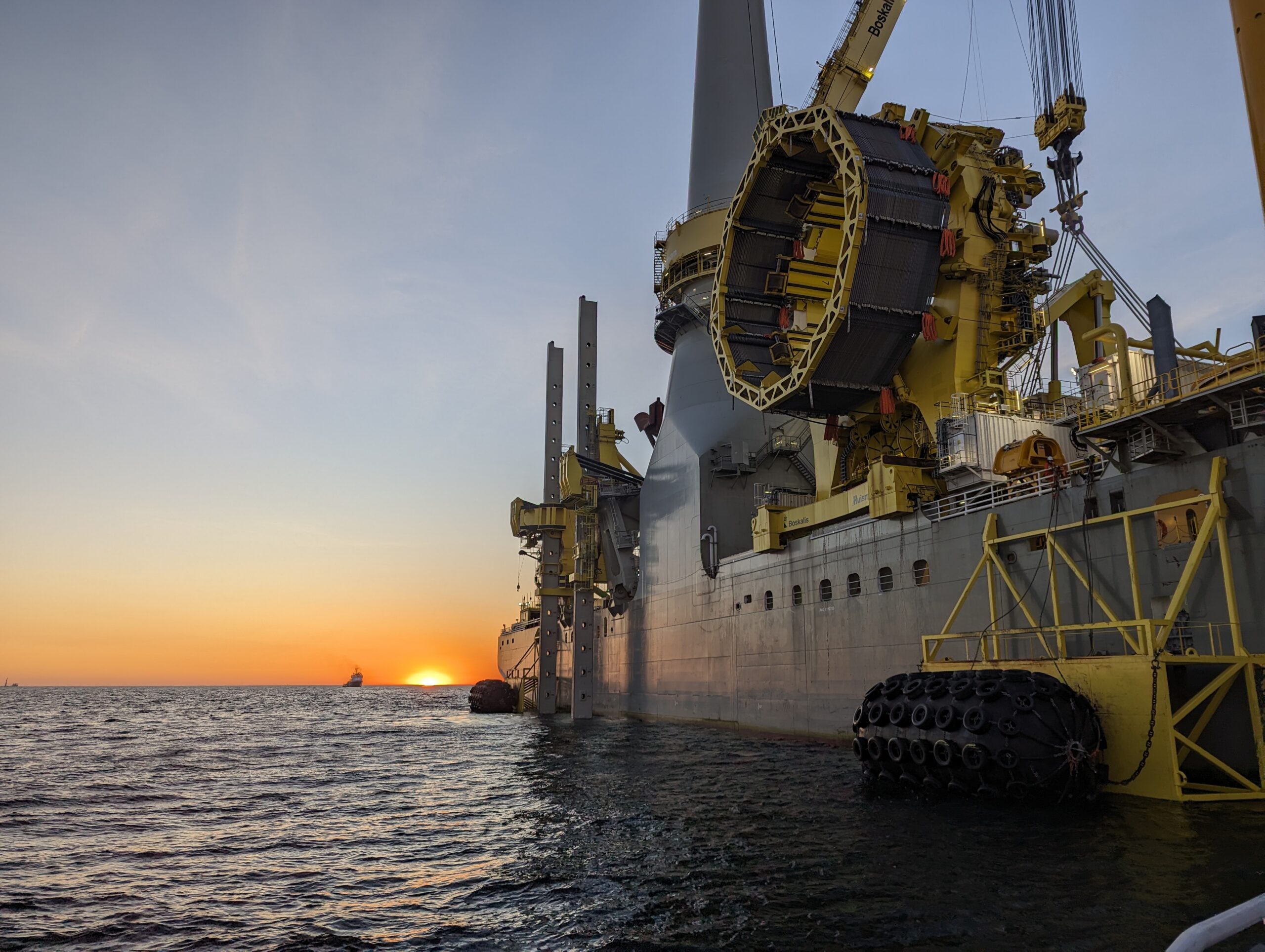
Construction Support Survey
Construction support experience across more than ten offshore projects, including the world’s largest single offshore wind farm.
Consent & Licensing Surveys
Spectrum provides marine baseline and monitoring surveys to help meet consent and licensing requirements.
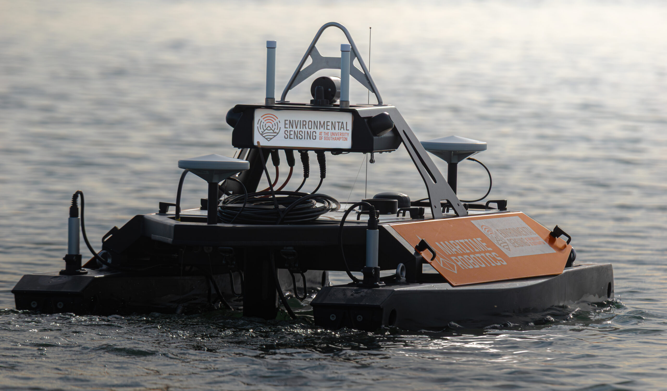
Remote Survey & USV
Dedicated remote survey solutions for crewed and uncrewed survey vessel operations.
Metocean and Environmental Survey
Spectrum has a proven track record in delivering metocean and environmental survey operations.
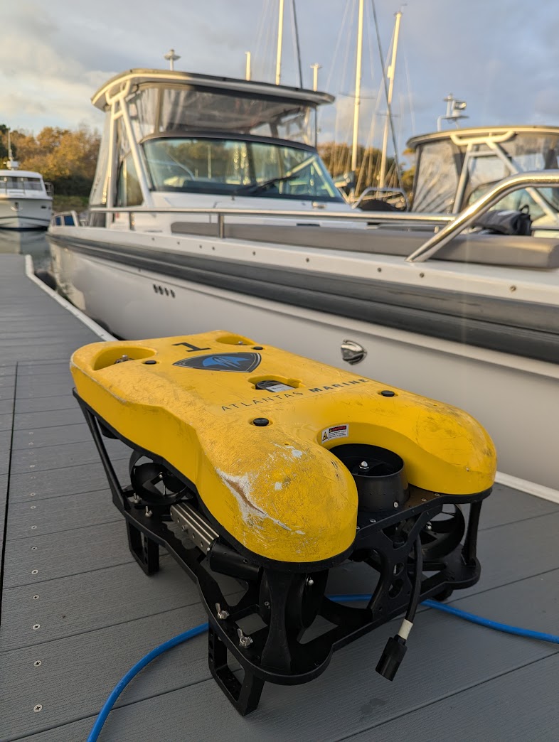
ROV inspection
Spectrum has experience conducting inspection class ROV operations in challenging environments from our vessels.