Hydrographic survey
High-resolution bathymetric surveys delivered to IHO S-44 standards using industry-leading sensors.
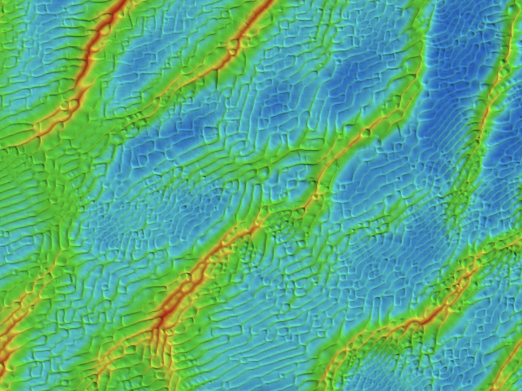
Spectrum delivers high-resolution seabed mapping using multibeam echosounder (MBES) bathymetry and backscatter data to provide detailed insight into seabed morphology, features, and potential hazards. Surveys are conducted using industry-leading sensors and robust acquisition procedures to meet IHO S-44 standards, ensuring reliable datasets suitable for engineering design, navigation, and offshore construction planning.
These surveys support a wide range of offshore and nearshore activities, enabling clients to identify seabed features, assess potential risks, and make informed project decisions.
Typical applications include:
- High-resolution & high-density multibeam bathymetry & backscatter surveys
- Construction support
- Operation and Maintenance (O&M)
- Pre-jacking surveys
- UXO clearance
- Linear infrastructure detection and assessment
- Port and harbour surveys
- Shallow water asset detection
- Nautical charting surveys
- Wreck & archaeological surveys