Geophysical survey
Geophysical survey geared to support a wide range of projects & site investigations.
Spectrum delivers high-resolution marine geophysical surveys to support a wide range of offshore developments, infrastructure projects, and site investigations. Our surveys provide detailed information on seabed and shallow subsurface conditions, enabling clients to make informed decisions during site selection, engineering design, risk assessment, construction planning, and long-term asset management.
Operating from offshore to nearshore environments, Spectrum integrates advanced acoustic and geophysical technologies with experienced data processing and interpretation teams. This ensures that survey datasets are delivered in formats suitable for engineering, environmental assessment, and regulatory reporting.
Our geophysical surveys identify seabed features, shallow geohazards, buried objects, and subsurface geological conditions that may influence project feasibility or installation methodology.
Typical applications include:
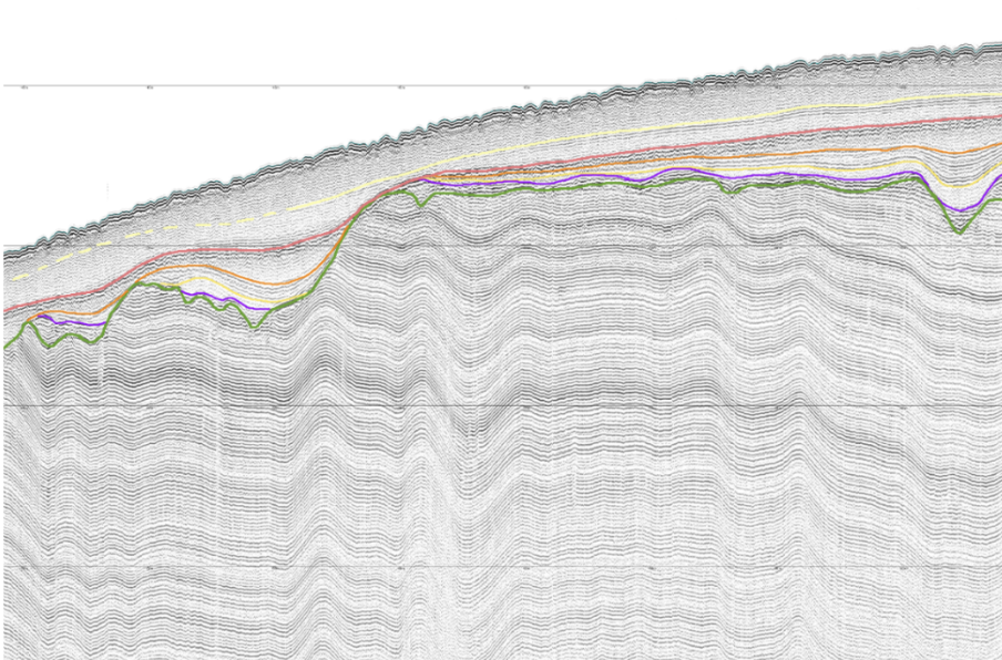
- Sub-bottom profiler (SBP) surveys to characterise shallow subsurface conditions
- Magnetometry data acquisition for buried ferrous object detection
- Side scan sonar (SSS) acoustic imaging for object detection, habitat mapping and geohazard identification
- Unexploded ordnance (UXO) surveys to inform risk assessment and clearance planning
- Pipeline & cable detection and depth of burial surveys
- Seismic data acquisition, interpretation & mapping
- Marine aggregate surveys
- Seabed sediment mapping