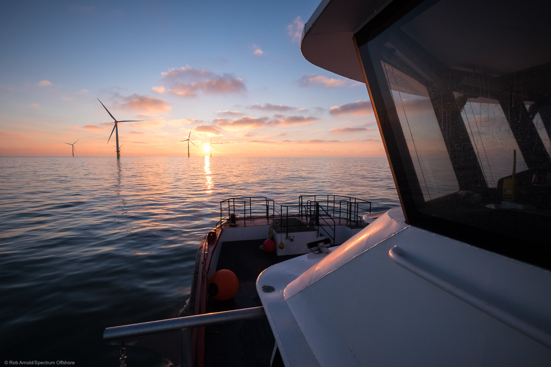
Site investigation survey
Comprehensive terrestrial and marine site investigation surveys to support the planning, design, and safe installation of offshore infrastructure.
Our surveys provide the high-quality geophysical data required by developers, engineers, and contractors to understand seabed conditions, identify potential hazards, and optimise project design prior to construction.
Seabed feature & object detection surveys
Spectrum conducts high-resolution geophysical surveys to identify seabed features and objects that may pose risks to offshore construction activities. These surveys help clients detect and assess potential obstructions before installation works commence.
- Seabed feature & object detection surveys (boulder, debris, ferrous objects & potential UXO etc.)
- Pipeline & cable route surveys
Pipeline & cable route surveys
Seabed feature & object detection surveys (boulder, debris, ferrous objects & potential UXO etc.)
Typical targets include:
- Boulders and natural seabed features
- Debris and anthropogenic objects
- Ferrous objects and buried infrastructure
- Potential Unexploded Ordnance (UXO)
- Seabed morphology and geological features
Pipeline and Cable Route Surveys
Spectrum supports the development of pipelines and subsea cable routes through detailed geophysical route corridor surveys. These surveys provide the information required for route selection, engineering design, and installation planning.
Key survey outputs include:
- High-resolution bathymetry and topography models for route planning
- Seabed classification and morphology mapping
- Detection of seabed hazards and obstructions
- Identification of existing infrastructure and crossings
- Assessment of seabed mobility and geological features